Climate change hazards
Climate change is already greatly influencing our lives in British Columbia (B.C.). Over the next decades, we expect B.C. to see an increase in several climate-related hazards including heat events, poor air quality, flooding, and other extreme weather events. We know that these hazards negatively affect the physical, mental, and social health of people living in the region served by Interior Health.
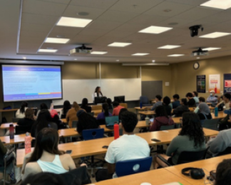
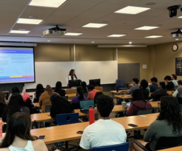
However, communities across the Interior Health region are investing in collaborative climate actions. When efforts to reduce climate risks are coordinated across sectors, there are many social, economic, and cultural co-benefits that support individual and community health, as well as benefiting the health system and the environment
Commonly experienced climate-related hazards in Interior Health region include:
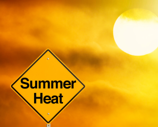
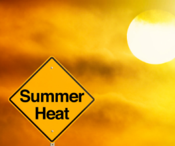
- Extreme heat
- Cold temperatures
- Wildfire and smoke
- Flooding
- Drought
To learn more about climate-related hazards and examples of community climate resilience in the region: