Interior Health has taken an innovative approach to exploring climate change by creating Community Health and Climate Change maps.
“Recent events have demonstrated the importance of planning and preparing for natural disasters associated with climate change,” says Interior Health president and CEO, Susan Brown. “These new Community Health and Climate Change maps will support the safety and wellbeing of people living across the region and we encourage everyone to take the opportunity now to plan for the effects of climate change.”
The Community Health and Climate Change maps will help governments and partners in their municipal planning by helping them understand climate-sensitive areas that could impact their building or expansion projects. The maps, created by Interior Health’s Healthy Communities program, focuses on four commonly experienced climate-related hazards in B.C.:
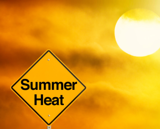
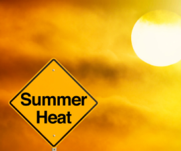
- High Temperatures
- Low Temperatures
- Flooding
- Wildfire Smoke
Maps have also been developed separately for each of the regional districts within Interior Health to help local leaders understand the impact of climate change. For help navigating the maps, please refer to this guide.
“The maps show the communities that are most vulnerable to different climate hazards and allow us to focus our efforts and work together to plan and prepare,” says Dr. Sue Pollock, Chief Medical Health Officer. “For example, the maps show communities that may be more affected by heat; this information helps us identify appropriate actions that communities can take in order to keep people healthy and safe.”
The Community Health and Climate Change maps are a snapshot in time that project risks and probability related to weather-related events in the Interior. They support affected communities through readiness and planning, and build resilience through scenario-based planning for mitigation, and natural disaster support for communities. The maps will not only help with city planning, but can also effectively define resource allocation during natural disasters.
The maps will also be used to deepen collaboration with Indigenous and non-Indigenous communities as we work towards the common goal of supporting healthy communities as our climate changes.
To learn more, visit Interior Health’s climate resiliency & planning webpage.